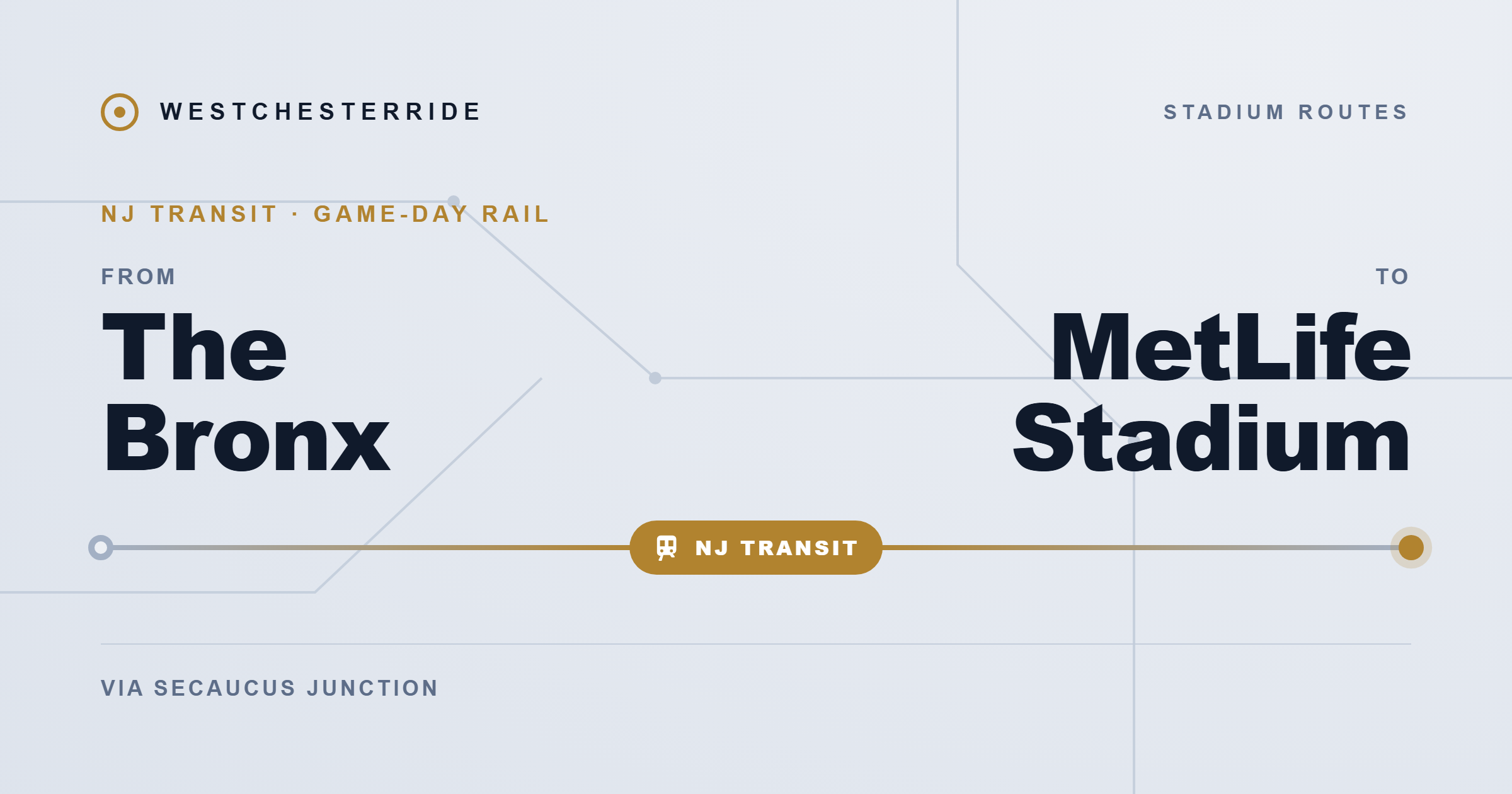
Traveling from the Bronx to MetLife Stadium looks simple on a map. The distance is short, usually around 14 to 15 miles, and in light traffic the drive can take about 20 to 25 minutes.
But distance does not define this trip. Infrastructure does.
Every route from the Bronx to the Meadowlands must pass through the same corridor: the Major Deegan Expressway (I-87), the Cross Bronx Expressway, and the George Washington Bridge before entering New Jersey’s Route 3 and the Meadowlands complex. When this corridor flows smoothly, the trip is fast. When one piece slows down, travel times can increase dramatically.
This guide explains how transportation works from different parts of the Bronx, what infrastructure controls the route, and which travel options are the most reliable depending on traffic and event conditions.
For a broader overview of how transportation networks function across the region, see the regional guide: How Transportation Works in Westchester County.
Bronx to MetLife Stadium transportation
Fastest route in light traffic
Drive via:
Major Deegan Expressway (I-87) → Cross Bronx Expressway (I-95) → George Washington Bridge → I-95 New Jersey → Route 3 → MetLife Stadium.
• Distance: about 14–15 miles
• Driving time: 20–25 minutes in ideal conditions
Most reliable route on major event days
Public transit:
Subway → Penn Station → NJ Transit train to Secaucus Junction → Meadowlands Rail Line shuttle.
• Total travel time: 75–110 minutes
• Advantage: avoids most highway congestion.
For more route comparisons, see the transportation hub: Transportation to MetLife Stadium.
How far is the Bronx from MetLife Stadium?
MetLife Stadium is located in East Rutherford, New Jersey, inside the Meadowlands Sports Complex.
Because the Bronx sits north of Manhattan, the trip is not a straight westbound drive. Instead, vehicles must cross the Hudson River and enter New Jersey through a limited number of crossings.
From most Bronx neighborhoods:
• Distance to MetLife Stadium: 14.1 to 14.5 miles
• Ideal driving time: 20 to 25 minutes
The complexity comes from the infrastructure required to reach the stadium.
The route is governed by four key transportation assets:
• Major Deegan Expressway (I-87) – north-south highway through the Bronx
• Cross Bronx Expressway (I-95) – freight corridor feeding the bridge
• George Washington Bridge (GWB) – primary Hudson River crossing
• Route 3 / NJ Turnpike Exit 16W – main entrance to the Meadowlands complex
None of these have meaningful parallel alternatives at the same latitude. This lack of redundancy is why congestion on event days can expand a short trip into a long one.
If you’re traveling from other parts of the region, you may also want to review: Transportation from New York City to MetLife Stadium.
South Bronx vs Riverdale: Does your starting point matter?
Yes, but the difference is not distance.
The real difference is how you enter the highway network and what public transportation options are available.
Two useful reference areas are:
• Riverdale in the North Bronx
• Mott Haven or Port Morris in the South Bronx
Riverdale (North Bronx)
Riverdale sits in the northwest corner of the Bronx near the Hudson River and the Westchester County border.
From a mobility perspective, Riverdale benefits from proximity to the George Washington Bridge approach routes.
Typical driving path:
Riverdale → Henry Hudson Parkway or local streets → I-87 South → Cross Bronx → George Washington Bridge → Route 3 → MetLife Stadium.
Advantages:
• Shorter exposure to the Major Deegan corridor
• Faster access to bridge approach ramps
Disadvantages:
• Limited alternate crossings if the bridge becomes congested
• Public transit to Penn Station requires longer subway travel
Public transportation from Riverdale typically begins with the 1 subway line from Van Cortlandt Park–242nd Street, which takes about 39 to 42 minutes to reach Midtown Manhattan.
South Bronx (Mott Haven and Port Morris)
The South Bronx is located near the Harlem River and the junction of several expressways.
This area sits between:
• Major Deegan Expressway
• Bruckner Expressway
• Cross Bronx Expressway
Driving from the South Bronx usually requires navigating local streets before reaching the Deegan.
Typical route:
South Bronx → Major Deegan northbound → Cross Bronx → George Washington Bridge → Route 3.
Advantages:
• More subway options toward Manhattan
• Faster access to Penn Station by transit
Disadvantages:
• Higher traffic density due to freight routes and industrial activity
• Greater exposure to congestion near Yankee Stadium and Hunts Point.
For transit users, the 2, 4, or 5 trains provide relatively fast connections to Midtown Manhattan, sometimes reaching Penn Station in around 22 to 39 minutes depending on the station.
Infrastructure that controls the entire route
Three pieces of infrastructure determine most travel times between the Bronx and MetLife Stadium.
Understanding them explains why congestion patterns behave the way they do.
Major Deegan Expressway (I-87)
The Major Deegan Expressway runs along the western edge of the Bronx and acts as the main north-south highway feeding traffic toward the George Washington Bridge.
Key characteristics:
• Often limited to three lanes per direction
• Several sections with limited shoulder space
• Heavy mixture of passenger and freight traffic
Because shoulders are narrow in many segments, a stalled vehicle or minor accident can remove an entire lane from circulation.
Recent infrastructure projects have attempted to improve the corridor. A $121 million reconstruction project completed in 2023 added an auxiliary lane near the Yankee Stadium area to reduce merge congestion.
Even with these improvements, the Deegan remains one of the region’s most volatile highways.
Cross Bronx Expressway
The Cross Bronx Expressway acts as the final staging corridor before reaching the George Washington Bridge.
Traffic here includes:
• Bronx commuters
• Westchester County vehicles
• Interstate freight traffic traveling along the I-95 corridor.
This creates intense merging zones where vehicles must reposition themselves before entering the bridge approach ramps.
Transportation researchers have consistently ranked the I-87 / I-95 corridor among the most congested highway segments in the United States based on delay hours per mile.
George Washington Bridge
The George Washington Bridge is the main Hudson River crossing for drivers traveling from northern New York City into New Jersey.
Important facts:
• Approximately 275,000 vehicles per day
• 14 traffic lanes split between upper and lower levels
• One of the busiest bridges in the world
Westbound traffic entering New Jersey does not pay a toll. However, returning to New York requires a toll payment.
The Port Authority charges $14.79 off-peak or $16.79 at peak with a NY or NJ E-ZPass, and $23.30 by mail (October 2026); treat these as reference rates that can change.
Because the bridge is fed by multiple highways, congestion often occurs before vehicles even reach the bridge deck.
Route 3 and the Meadowlands Complex
Once drivers enter New Jersey, Route 3 becomes the final funnel toward MetLife Stadium.
Unlike most stadiums located within cities, the Meadowlands complex sits in wetlands with limited surrounding street networks.
As a result:
• Nearly all vehicles must use Route 3, Route 120, or NJ Turnpike Exit 16W
• There are no neighborhood streets that can absorb overflow traffic.
After large events with more than 80,000 attendees, parking lot clearance alone can take 45 to 90 minutes before vehicles reach the highway ramps.
Public transportation to MetLife Stadium
Public transportation often provides more predictable travel times than driving during large events.
The most common route uses the subway and NJ Transit.
Subway + NJ Transit + Meadowlands Rail Line
The transit journey usually includes three steps.
Step 1: Travel by subway to Penn Station (34th Street) in Manhattan.
Possible lines from the Bronx include:
• Line 1 from the northwestern Bronx
• Lines 2, 4, or 5 from the South Bronx.
Step 2: From Penn Station, board a NJ Transit train to Secaucus Junction.
The train ride typically takes 10 to 15 minutes.
Step 3: At Secaucus Junction, transfer to the Meadowlands Rail Line shuttle, which runs directly to the stadium.
This final segment takes about 10 minutes.
Total trip time typically ranges between 75 and 110 minutes, depending on transfer timing.
For a comparison of travel modes across the region, see: Public transportation vs driving in Westchester County.
Coach USA 351 Meadowlands Express
Another option, especially useful for North Bronx travelers, is the Coach USA 351 Meadowlands Express bus.
This service departs from:
• Port Authority Bus Terminal in Midtown Manhattan
• George Washington Bridge Bus Station in Upper Manhattan
The addition of the GWB bus station stop makes the service easier to access for residents of Riverdale, Kingsbridge, and northern Manhattan.
Coach USA publishes a fare of $18 round trip (October 2026), exact fare if paid at the bus. Prices can change.
The bus travels directly to the stadium parking area, avoiding the Secaucus train transfer.
However, return trips remain subject to highway congestion.
Driving from the Bronx to MetLife Stadium
Despite congestion risks, many fans still prefer driving because it offers more flexibility.
Typical route:
I-87 South → Cross Bronx → George Washington Bridge → I-95 New Jersey → Route 3 → MetLife Stadium.
Estimated travel times:
• Light traffic: 20–25 minutes
• Rush hour: 45–75 minutes
• Event congestion: 90–150 minutes or more
Parking costs usually range between $30 and $80 depending on the event and parking lot location. These prices are reference estimates and can change.
For visitors coming from suburban areas north of the city, see: Transportation from Yonkers to MetLife stadium.
Deegan volatility and corridor risk
Transportation planners often refer to the Major Deegan corridor as structurally volatile.
This volatility comes from three factors:
- High traffic volume
- Limited shoulder space
- Heavy truck presence
Fares and travel times on this page are 2026 estimates and can change with the season, schedule updates, demand, weather, and service conditions. Confirm current prices and times with the official carrier before you travel.
Because the Bronx–GWB corridor forms a single chain of infrastructure, problems propagate quickly.
If the Deegan slows down, congestion spreads to the Cross Bronx.
If the Cross Bronx backs up, vehicles queue onto local streets.
If the George Washington Bridge becomes congested, delays ripple throughout the entire corridor.
In situations where the Deegan becomes blocked, the only realistic highway bypass is traveling north via I-87 to the Mario Cuomo Bridge, which adds significant distance.
Best time windows for travel
Traffic patterns along the corridor follow predictable daily cycles.
Morning rush hour
Heavy southbound traffic entering Manhattan.
Midday
Relatively stable traffic conditions.
Evening peak
Northbound commuter traffic combined with event traffic.
The most reliable travel window is typically between 11:00 AM and 2:00 PM.
During this period, the corridor often experiences its lowest traffic volumes.
Departures between 2:00 PM and 7:30 PM usually encounter the highest congestion levels.
Event day strategy
For stadium events, planning ahead is essential.
Transportation experts often recommend:
Cross the Hudson River at least 2.5 hours before the event begins.
This buffer allows time for:
• bridge congestion
• parking delays
• unexpected incidents along the highway.
For the return trip, waiting 30 to 45 minutes before leaving the stadium parking lot can significantly reduce exit time.
Frequently asked questions
No. Travelers must first reach Penn Station using the subway, then take NJ Transit to Secaucus Junction before transferring to the Meadowlands Rail Line shuttle.
No. The New York City subway system does not extend into New Jersey. A transfer to NJ Transit rail or bus service is required.
In ideal traffic conditions, the drive takes 20 to 25 minutes. During major events or rush hour, travel times can increase to 75–150 minutes.
Public transportation is typically the least expensive option. A subway ride plus NJ Transit train usually totals around $15–$20 round trip in reference pricing.
Driving adds bridge tolls and parking fees.
There are few fast alternatives at the same latitude. Drivers may need to detour north to the Mario Cuomo Bridge or switch to public transportation.
Final perspective
The Bronx is geographically close to MetLife Stadium, but the journey depends entirely on the performance of a single corridor.
Major Deegan → Cross Bronx → George Washington Bridge → Route 3.
When traffic flows normally, the trip is short and efficient.
When congestion or incidents occur, delays can expand quickly because there are no parallel routes to absorb the traffic.
For drivers, early departure and real-time traffic monitoring are essential.
For travelers seeking predictability, the subway and NJ Transit combination often provides the most stable way to reach the stadium.
Understanding the infrastructure behind the trip makes the difference between a smooth journey and a long delay.