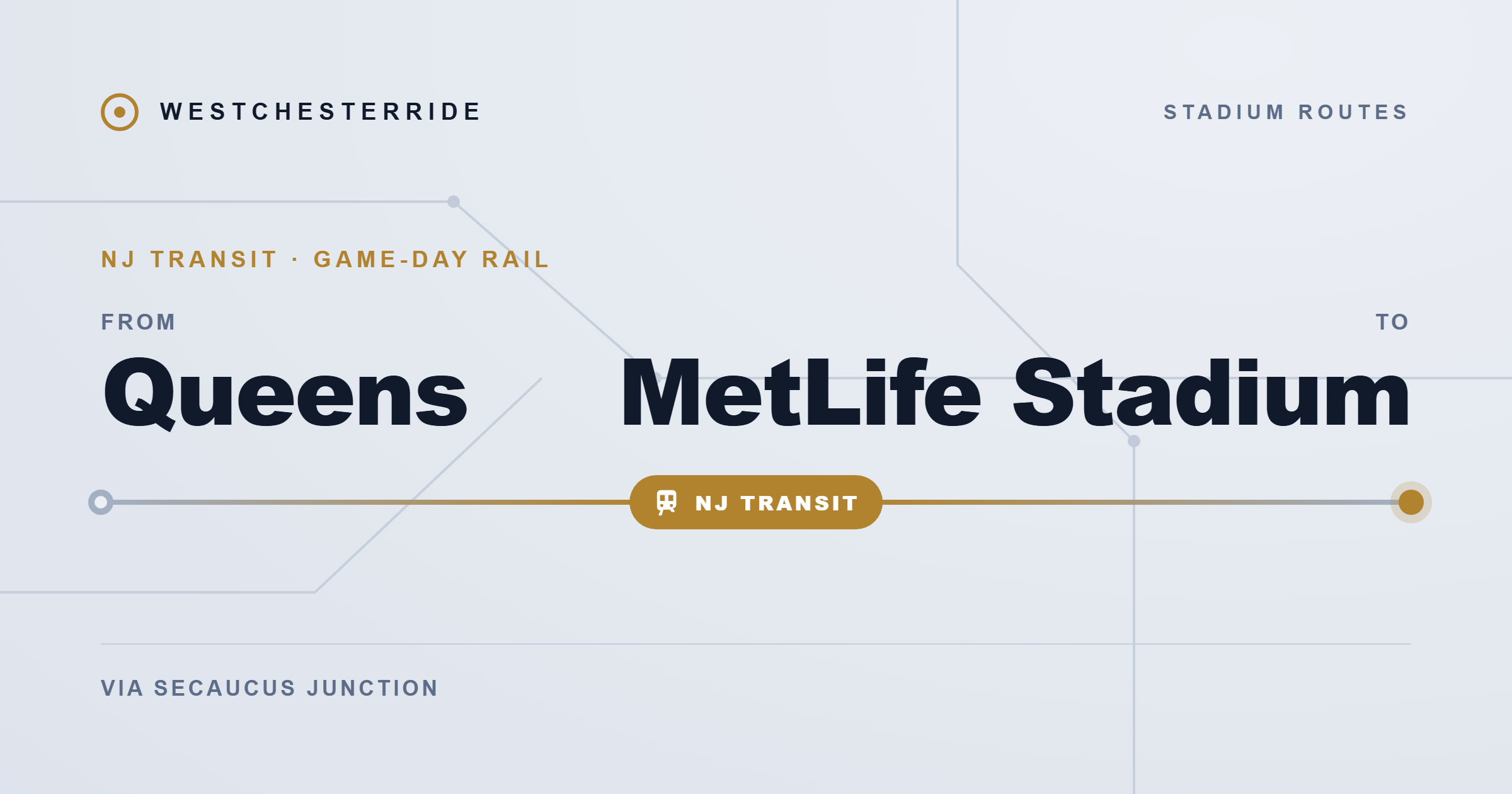
Traveling from Queens to MetLife Stadium looks simple when you check the map. The Meadowlands Sports Complex in East Rutherford, New Jersey sits roughly 13 to 24 miles from different parts of Queens, depending on where you begin.
But the real difficulty is not the distance.
The trip requires crossing two major rivers, navigating some of the most congested expressways in the United States, and entering the Meadowlands through infrastructure that already operates near its maximum capacity. Every traveler must eventually pass through the same chain of highways and tunnels that connect New York City to northern New Jersey.
This guide explains the best way to reach the stadium from Western Queens, Central Queens, and Eastern Queens, how the major infrastructure corridors affect travel time, and why rail transportation is often the most reliable option on event days.
For the broader regional overview of stadium access, see the main guide: Transportation to MetLife Stadium.
The fastest way to get from Queens to MetLife Stadium
The fastest and most reliable method on event days is typically the rail chain.
LIRR or subway → Penn Station → NJ Transit → Secaucus Junction → Meadowlands Rail Line.
This route usually takes 60 to 75 minutes from most Queens neighborhoods and bypasses the biggest highway bottlenecks between the borough and the Meadowlands.
Driving can be faster in theory, but only under ideal conditions.
Typical driving route:
Queens → Queens Midtown Tunnel → Manhattan → Lincoln Tunnel → Route 3 → MetLife Stadium.
• Distance: 13–24 miles depending on origin
• Ideal driving time: 21–33 minutes
During major events such as NFL games or stadium concerts, driving times can increase dramatically to 90–150 minutes or more.
Your starting point in Queens changes everything
Queens covers more than 109 square miles, and the transportation strategy changes significantly depending on where you begin.
For planning purposes, the borough can be divided into three operational zones:
• Western Queens
• Central Queens
• Eastern Queens
Each zone has different access to highways, subway lines, and commuter rail connections.
Western Queens: Astoria and Long Island City
Western Queens is geographically closest to MetLife Stadium.
Key neighborhoods include:
• Astoria
• Long Island City
Driving distance is typically 13 to 14 miles, which creates the illusion that it should be the fastest route.
However, this area suffers from what this guide calls a “proximity trap.”
Drivers leaving Astoria usually follow this route:
Queensboro Bridge or Queens Midtown Tunnel → Midtown Manhattan → Lincoln Tunnel → Route 3 → MetLife Stadium.
The problem is Midtown Manhattan.
If you exit the Queens Midtown Tunnel near 34th Street during the evening travel window, you are entering one of the most congested street grids in North America. Simply crossing Manhattan from the East River to the Lincoln Tunnel can take 30 to 45 minutes before you even reach New Jersey.
Typical driving time from Astoria:
• Ideal conditions: 21 minutes
• Normal traffic: 45 to 60 minutes
• Event days: 65 to 90 minutes or more
Because of this unpredictability, many Western Queens residents choose public transit instead of driving.
Subway connections using the N, W, E, or F lines can reach Penn Station quickly, where travelers connect to NJ Transit trains heading toward the stadium.
Central Queens: Forest Hills and Rego Park
Central Queens sits slightly farther east but actually offers a major transportation advantage.
Neighborhoods such as Forest Hills and Rego Park have direct access to the Long Island Rail Road Main Line, which provides one of the fastest rail connections to Manhattan.
Distance to MetLife Stadium:
16 to 17 miles
Driving route:
Queens Boulevard → Long Island Expressway → Midtown Tunnel → Manhattan → Lincoln Tunnel → Route 3.
Driving times typically look like this:
• Minimum: about 27 minutes
• Normal day: 55 to 75 minutes
• Event day: 80 to 110 minutes
Because the highway network is so congested, many residents of Forest Hills prefer rail.
LIRR trains from Forest Hills Station reach Penn Station in approximately 12 to 18 minutes, completely bypassing the Long Island Expressway and Midtown traffic.
Trains depart frequently because several LIRR branches overlap on this corridor, including:
• Main Line
• Ronkonkoma Branch
• Babylon Branch
• Hempstead Branch
This overlap provides departures roughly every 15 to 20 minutes during busy periods, making Central Queens one of the best positioned areas for stadium travel by rail.
Eastern Queens: Jamaica, Bayside, and Queens Village
Eastern Queens is the farthest zone from the Meadowlands but also has the strongest commuter rail infrastructure.
Key neighborhoods include:
• Jamaica
• Bayside
• Queens Village
Driving distance ranges between 19 and 24 miles.
Typical route by car:
Van Wyck Expressway → Long Island Expressway or BQE → Midtown Tunnel → Manhattan → Lincoln Tunnel → Route 3.
Minimum driving time:
about 33 minutes
However, real conditions are very different.
The Long Island Expressway has reached a point where traditional rush-hour patterns have almost disappeared. Congestion now occurs throughout much of the day.
Realistic event-day driving times from Eastern Queens can reach:
100 to 150 minutes or more
Because of this, rail transportation from Jamaica Station or the Port Washington Branch is often the most reliable option.
Jamaica Station is one of the busiest rail hubs in New York, with trains to Penn Station departing roughly every 10 minutes.
Critical infrastructure that shapes the entire route
No matter where you start in Queens, every trip to MetLife Stadium passes through several major transportation chokepoints.
These infrastructure nodes determine whether the journey will be smooth or severely delayed.
Brooklyn–Queens Expressway (BQE)
The BQE (Interstate 278) feeds vehicles from Queens toward Manhattan crossings.
One of its most problematic segments is the historic triple cantilever section in Brooklyn, which has experienced structural fatigue and is undergoing reconstruction work.
Lane closures related to repairs and infrastructure upgrades can significantly reduce traffic flow, making travel times unpredictable.
For drivers leaving Western or Central Queens, congestion on the BQE often determines whether the rest of the trip is manageable.
Queens Midtown Tunnel
The Queens Midtown Tunnel is one of the main East River crossings connecting Queens with Midtown Manhattan.
Drivers entering the tunnel should expect toll charges. Typical tolls are around $7 to $10 depending on payment method, though these prices are reference figures and may change.
After exiting the tunnel near 34th Street, vehicles must navigate Midtown’s surface grid before reaching the Lincoln Tunnel.
This surface segment can easily add 20 to 40 minutes during peak travel periods.
Lincoln Tunnel and the NJ-495 Helix
The Lincoln Tunnel connects Midtown Manhattan with Weehawken, New Jersey.
Important characteristics:
• Three tunnel tubes, per the Port Authority
• Major commuter traffic flows
Immediately after exiting the tunnel on the New Jersey side, vehicles descend the NJ-495 Helix, a spiraling ramp that merges tunnel traffic with local roads.
This area often becomes a critical bottleneck during stadium events.
When congestion builds here, delays propagate backward through the tunnel and into the Manhattan street grid.
Cross Bronx Expressway alternative
Some drivers attempt to avoid Manhattan completely by using a northern route.
Typical bypass route:
Grand Central Parkway → RFK Bridge → Cross Bronx Expressway → George Washington Bridge → New Jersey Turnpike → Route 3.
While this route avoids Midtown traffic lights, it introduces another major congestion corridor.
The Cross Bronx Expressway is widely considered one of the most congested highways in the United States due to:
• narrow lanes
• heavy freight traffic
• lack of emergency shoulders.
Even with these challenges, the George Washington Bridge sometimes distributes traffic more efficiently than the Lincoln Tunnel for drivers coming from Eastern Queens.
Minimum vs realistic travel times
Many navigation apps underestimate travel time to MetLife Stadium because they rely on baseline traffic data rather than event-driven congestion.
Typical theoretical minimum travel times:
Astoria
21 minutes
Forest Hills
27 minutes
Jamaica
33 minutes
These estimates assume nearly empty roads.
Real-world travel times look very different.
Typical event-day driving times:
Astoria
65–90 minutes
Forest Hills
80–110 minutes
Eastern Queens
100–150+ minutes
Because of this large difference, this guide works with a 150-minute buffer rule.
Travelers should aim to be on the highway about 2.5 hours before kickoff or a concert start time.
Rail alternative: the LIRR and NJ Transit connection
Because of highway congestion, rail transportation has become the most predictable way to reach MetLife Stadium from Queens.
The journey involves three stages.
Stage 1: Queens to Penn Station
Travelers first reach Penn Station in Manhattan.
Possible starting points include:
Western Queens
Subway lines such as E or F from Queens Plaza.
Central Queens
LIRR trains from Forest Hills Station.
Eastern Queens
LIRR trains from Jamaica Station.
LIRR fares vary depending on peak or off-peak travel. Typical one-way fares range from about $7 to $11, though prices are reference figures and may change.
Travel time on the LIRR is usually 12 to 25 minutes depending on the station.
A practical tip is to confirm that your train terminates at Penn Station rather than Grand Central Madison, since arriving at Grand Central would require an additional subway transfer.
Stage 2: Penn Station to Secaucus Junction
At Penn Station, travelers transfer to NJ Transit trains heading toward Secaucus Junction.
Passengers should look for departure boards showing trains marked “SEC.”
Travel time between Penn Station and Secaucus is typically 10 to 12 minutes.
Tickets can be purchased through the NJ Transit mobile app, which helps avoid ticket machine lines.
Stage 3: Secaucus Junction to MetLife Stadium
At Secaucus Junction, travelers transfer to the Meadowlands Rail Service train.
This train runs only during major events with attendance above roughly 50,000 people, such as NFL games or large concerts.
The final segment takes approximately 10 minutes, per MetLife Stadium, and stops directly next to the stadium gates.
Total travel time from Penn Station to MetLife Stadium usually falls between 35 and 50 minutes, depending on transfer timing.
Bus alternative from Port Authority
Another option is traveling to Port Authority Bus Terminal in Midtown Manhattan.
From there, the Coach USA 351 Meadowlands Express operates direct service to the stadium.
The Lincoln Tunnel Exclusive Bus Lane (XBL) does not help this trip: the Port Authority runs it each weekday morning for buses heading east into Manhattan, so a stadium-bound 351 bus shares the westbound tunnel traffic with private vehicles.
Travel time from Port Authority to the stadium is typically around 15 to 20 minutes, though actual times depend on event traffic conditions.
Cost comparison: driving vs rail
Driving to MetLife Stadium involves several potential expenses.
Typical costs include:
• Queens Midtown Tunnel toll
• Lincoln Tunnel toll on the return trip
• Stadium parking
• Fuel costs
Parking at MetLife Stadium generally ranges between $40 and $100 depending on the event and lot location, though prices are reference estimates and can change.
Because of these costs, driving alone can become expensive.
Public transportation often costs significantly less.
A combination of subway or LIRR plus NJ Transit usually totals about $30 to $35 round trip, depending on fare categories.
For many travelers, rail also offers the benefit of predictable travel times.
Related transportation routes
If you are traveling from other nearby areas, these guides may help:
Fares and travel times on this page are 2026 estimates and can change with the season, schedule updates, demand, weather, and service conditions. Confirm current prices and times with the official carrier before you travel.
Frequently asked questions
The distance ranges between 13 and 24 miles depending on where you start in Queens.
Driving can be faster in light traffic, but public transit is usually more reliable on event days because it avoids highway congestion.
No. The subway system does not extend into New Jersey. Travelers must transfer to NJ Transit trains or buses.
For many residents of Central and Eastern Queens, yes. The LIRR provides a fast connection to Penn Station and avoids the Long Island Expressway and Midtown street congestion.
Our planning rule is to arrive at least 90 minutes before the event begins, or starting the drive around 150 minutes before kickoff if traveling by car.
Final perspective
The journey from Queens to MetLife Stadium is less about distance and more about infrastructure.
Drivers must cross the East River, navigate Manhattan or the Bronx highway network, and enter the Meadowlands through Route 3, one of the only access corridors to the stadium complex.
Because these roads operate near capacity during major events, travel times can expand quickly.
For many visitors, the LIRR and NJ Transit rail connection offers the most predictable way to reach the stadium, avoiding the highway bottlenecks that define the Queens-to-Meadowlands corridor.
Sources
Official pages this guide relies on, checked in October 2026. Rules and prices can change, sometimes for a single event, so confirm with the issuer before you travel.